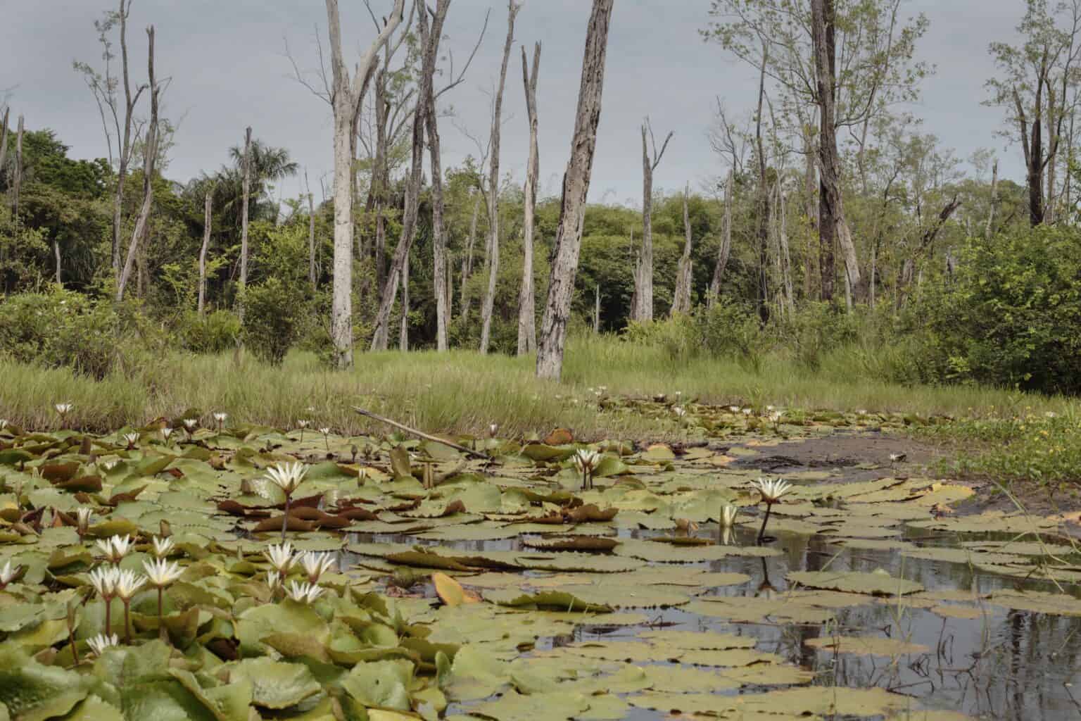
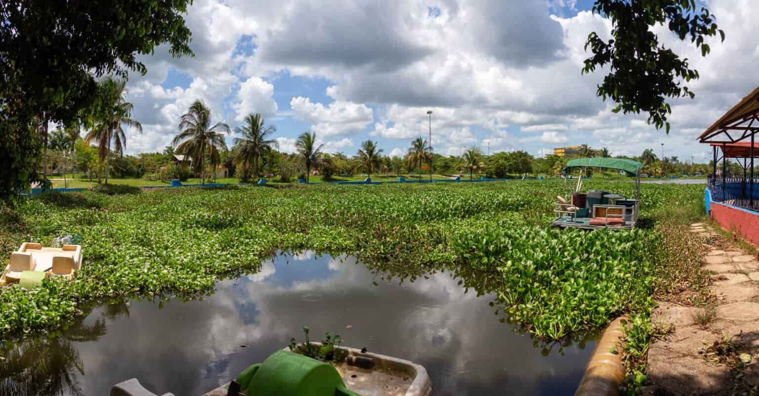
A vegetation survey isn’t just about jotting down plant names. It’s an on-the-ground, in-the-water look at what’s actually growing in your lake or pond. Native grasses, invasive weeds, algae mats, shoreline reeds—we map the whole situation. Then we interpret: what it means, what to watch, and what needs to go. Think of it like getting a proper diagnosis before choosing an Aquatic Management strategy. If you skip this step, you risk treating the wrong thing or worse, damaging the ecosystem with the wrong methods. That’s where vegetation surveys come in.
We don’t come in swinging with chemicals. Serenity Solutions NY takes a measured, eco-conscious approach. Our surveys are part of a bigger effort to restore balance, not bulldoze it. We also incorporate Biological Control methods where appropriate, using natural solutions to keep invasive species in check. Every step we take follows EPA-approved guidelines and factors in environmental permitting and compliance, so you stay protected legally and ecologically.

Let’s Get Eyes on It
Yes—without it, you’re flying blind. You might be using the wrong method, or even making the problem worse.
Usually just a day on-site. We’ll need some time afterward to compile the findings into something useful and readable.
Absolutely. Many permitting processes require baseline vegetation data.
Nope. Small backyard ponds, private estates, public water bodies—if there’s water and vegetation, this applies.
You can try, but it won’t give you the full picture. Density, spread, ecosystem impact those things take training and experience to assess accurately.
Esclatech © 2025. All Rights Reserved